Tuesday, July 5, 2011

Twin Lakes


Twin Lakes

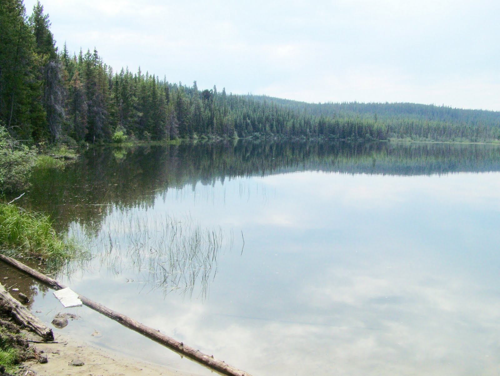
June 28th was the first time I actually tried fishing Twin Lakes. Tried being the key word. Yes, as much luck that I usually have fishing, I do have my off days. There is still lots of snow in the high country yet and I do like the roads to dry out a bit before I hit the high mountain roads so as not to chew them up in their soft state.

I zeroed the odometer at the old rail line just past the airport on Highway 97 heading out from Penticton. Just past the Kaleden Junction I turned right at Km. 9 on the White Lake Road. The road winds through the forested area until Km 13.6 where the exit to the Saint Andrews by the Lake Golf course gate is on the right. This is a nice little course with one nice hole with the green on an island.

At Km 16.4 the White Lake Astrosphysical Observatory is of to the left. This is open to the public in July and August with guided tours on the weekends. From here to Twin Lakes the country become open with sagebrush covered hills. At 17.2 Km the Fairview - White Lake Road heads off to the left.

The next intersection is at Km 23.3 where the Twin Lakes Road takes off to the Right. Keep to the left on the White Lake Road, then stay right at the Grand Oro Road. Then at Km 24.5 turn right on the East View Road you are soon down to the public access area at Km. 25.4. Be aware that the landing tends to be very loose and you often see where vehicles spin their wheels and have difficulty getting back out.

Putting the canoe in the water I spent two hours in the early evening trailing a shrimp and then a white and red spoon with just one weak strike on each. This in spite of the slow but steady rises around the lake. What fish that broke the surface looked like they may have been carp which I’ve heard inhabit the lake along with the annually stocked rainbow and brook trout.

All in all a pleasant outing, but never far from a home as the lake shore is about two thirds developed.

Friday, July 1, 2011

Brief Note

Just a brief note to let you know I'm haveing a bit of trouble posting a blog.. hope to have the problem fix soon, but may be a little while as I'm not all that tech savvey.

Will be back to regular articles as soon as possible.


Thanks for your patience.
Bob

Thursday, June 30, 2011

Twin Lakes


Twin Lakes

Twin Lakes
June 28th was the first time I actually tried fishing Twin Lakes. Tried being the key word. Yes, as much luck that I usually have fishing, I do have my off days. There is still lots of snow in the high country yet and I do like the roads to dry out a bit before I hit the high mountain roads so as not to chew them up in their soft state.
I zeroed the odometer at the old rail line just past the airport on Highway 97 heading out from Penticton. Just past the Kaleden Junction I turned right at Km. 9 on the White Lake Road. The road winds through the forested area until Km 13.6 where the exit to the Saint Andrews by the Lake Golf course gate is on the right. This is a nice little course with one nice hole with the green on an island.
At Km 16.4 the White Lake Astrosphysical Observatory is of to the left. This is open to the public in July and August with guided tours on the weekends. From here to Twin Lakes the country become open with sagebrush covered hills. At 17.2 Km the Fairview - White Lake Road heads off to the left.
The next intersection is at Km 23.3 where the Twin Lakes Road takes off to the Right. Keep to the left on the White Lake Road, then stay right at the Grand Oro Road. Then at Km 24.5 turn right on the East View Road you are soon down to the public access area at Km. 25.4. Be aware that the landing tends to be very loose and you often see where vehicles spin their wheels and have difficulty getting back out.
Putting the canoe in the water I spent two hours in the early evening trailing a shrimp and then a white and red spoon with just one weak strike on each. This in spite of the slow but steady rises around the lake. What fish that broke the surface looked like they may have been carp which I’ve heard inhabit the lake along with the annually stocked rainbow and brook trout.
All in all a pleasant outing, but never far from a home as the lake shore is about two thirds developed.


Tuesday, June 21, 2011

Glen Lake


Glen Lake

There are many ways into Glen Lake, which ended up being fortunate on this, my first trip into the lake. Edda and Stephanie Fox and I headed west from Summerland on the North Prairie Valley Road. At the Faulder junction we kept to the left and headed past the Bald Range on the Princeton road.

Down we dropped into the valley bottom again and crossed Trout Creek a few times before eventually coming to the Trout Creek Ranch. Just before we crossed another bridge Glen Lake Forest Service Road took off to the right. I zeroed the trip meter here. The road then crossed the Trans Canada Hiking Trail and traversed some semi open grassland before swinging into a fairly narrow draw with a small creek.

This portion of the trip was fairly well forested and with lots of raspberries and other bushes along the roadsides. As it would turn out these berries were very important. We turned right at first two major intersections at 5.6 and 6.3 kilometres. At 7.7 kilometres the Big Fir Forest Service road takes off to the right, which should lead us to the Eneas Lakes at some later date. However, we took the left hand road and at just over 12 kilometres found Glen Lake off to the right hand side of the road.

There are several private properties here, but we found our way down to the public access at the southern end. It was not easy to reach deep water casting from shore, but I did manage a few strikes. This is another lake that really requires a car top boat or a canoe, so goes it onto my list to try once more when I am again able to carry a canoe. There is a small passage through the weeds from this section to the main portion of the lake.

The lake is stocked regularly with a good supply of both brook trout and rainbow trout. At an elevation of 1144 metres and a surface area of over 10 hectares fishing should be good through most of the season. Reportedly the fish can reach 1.5 kilograms (3 lb.).

Heading back home, we paused to pick some wild raspberries. Just after we stopped, there was a loud crash. An animal crashing through the bush? fairly loud for that! A tree falling in the bush?

Once we got back in the jeep and carried around the next bend we had the answer. A tree of at least 18 inches in diameter had broken from the bank and was across the road. By the time I was about half way though the trunk I realize that by the time I cleared the path and got out my wife at home would be worried and I would be in agony with my back. Time to start carrying a chain saw in the back on these trips.
Recalling the kilometre signs were declining as we had approached the lake I took another look at a map and decided to back track and come out on the more traveled route at Peachland. This, as it turns out would, have been the easiest route to the lake.

This alternate route involves going north from Summerland on highway 97. In Peachland turn left at the stop light on highway and head up hill on Princeton Avenue. Once you run out of pavement go another 5.4 kilometres and turn left on the Headwaters Road. At 15 kilometres take another left and once you pass the 18 kilometre sign keep you eyes open for two roads off to the left which should take you down to the public access point at Glen Lake.

Tuesday, June 14, 2011

Munro Lake


Munro Lake

Years ago I might have been to Munro Lake: I was at a lake in the general vicinity, but was not 100 % sure of the name. Today, with it plotted on my G. P. S., I was going to see if I was at the right lake then. I had also been studying several maps, so had a rough idea of where I was heading.

Again we headed west from Summerland on the Summerland-Princeton Road, past the Bald Range, until we dropped down to Trout Creek again. Just after the second bridge we took the Munro Forest Service Road, which appeared on the right. We quickly crossed the Trans Canada Trail and began climbing the side hill with its grassland and mature trees.

It was quite likely that most of the traffic was going into Munro Lake, so we would generally ignore the smaller side roads. 8 kilometres along we took the left hand branch and at 9.7 kilometres the right hand fork in the road. There many changes since my last trip years ago, so the decisions of which road to take were taken with the aid of the G. P. S. and a little intuition.

Sitting at kilometre 11.8 I was really torn, but eventually decided on the left hand fork. At
kilometre 15.2 I took the right hand turn and soon ended up at the lake. There were a few
camping spots and an outdoor loo. There is also a private cabin on the lake -- please
respect it.

In response to our questions, we were informed that the fishing was fairly good with fish up to 18 inches, but it was much better to use a boat. We did not have the canoe with us so after a quick lunch, Edda, Stephanie and I headed along a trail along the shore to try our luck. On Stephanie’s first cast, a decent sized fish smashed into her float. In fact she ended up having much more action than Edda and myself, although most seemed to be after the float. I have since suggested that she do away with the fly and leader and just attach a hook to the float.This trail was somewhat overgrown and is in need of someone to go through with a machete and possibly a chainsaw.

This is a nice lake, fairly well treed, but the far end appeared to be marshy. Possibly the right hand fork at 11.8 kilometres would have taken us to that end, which was more like the lake I remembered. Munro Lake is about 20 hectares and at an elevation of 1555 metres should have reasonable fishing though out the season. It is reasonably deep with a maximum depth of 8.2 metres and an average depth of 4.5 metres. Although records show it has both brook trout and rainbow trout, the last six annual stockings have been 3000 rainbow trout.

This is fairly good deer country, both for white tail and mule deer, so it is an ideal lake for a combined hunting and fishing trip. There should also be a fair amount of grouse around. There’s nothing I like better than wings and legs floured and slowly fried up in margarine. Note though, that regulations require that you keep one wing on the carcass until you get to your permanent residence, unless of course you have eaten the bird, so be prepared to cook the rest of the bird up as well.

One thing I noticed in some areas of the trip was a lot of windfalls amongst the trees. All this fuel in the woods presents a real danger if a camper is careless with fire or there is a lightning strike or other ignition point. Cutting these windfalls for campfires or for the fireplace at home would greatly reduce the risk.

Tuesday, May 31, 2011

Testalinden Canyon Hiking


Testalinden Canyon Hiking


I did this hike in April a few years ago, but this year with the cool spring the foliage will likely be at this stage in early June.

Hiking the hillsides on either side of the Testalinden Creek Canyons is a matter of following cattle and game trails. I had the pleasure of doing this hike in mid April. Turn west off highway 97 on Road No. 16 then right on 123 street and left of 324th . This end on the property of John and Darlene West. They do not mind people accessing the hikes here, if people ask permission first. An alternate way would be to head up the Mt. Kobau Road to the second switchback and head out that way.

I parked near the shop and walked up to the deer fence and slightly south to a gate in the fence. Please, as with every other gate of this sort, be sure to close it securely. Keeping south of the creek I wandered up to the hillside and onto a cattle/game trail that headed south an uphill through sagebrush and bunch grass.
Not wanting to get too far from the canyon, I took the first fork that took me back towards the creek. This eventually petered out and I began to climb the so what steep slopes walking very carefully. I could see into the steep canyon of the creek and the open hillsides to the north of the canyon. To access that side you would want to cross the creek near the bottom and take the cattle/game trails on that side. Either side offers nice open hillside hiking.

I spotted several mule deer alertly watching me and listening with those big ears. We watch each other for several minutes before all eight of them bounce off over a ridge. I was not too surprised as I had been seeing lots of droppings, but it is always a thrill to spot them.

Ever the one on the look out for wild edibles, I noticed lots of yellow bell flowers. Enough so that I almost regretted not having my digging tool with me. Almost, I could feel my back protesting enough as it was. Still! Maybe next time I will take it along just in case. The tiny bulb a little bigger than a pea is very nutty in flavour and is a nice crisp addition to a salad.

Eventually the land levelled a bit, (ok became less steep) and I wandered for a while enjoying both the hillside and the views of the valley floor from Tuckelnuet Lake to Osoyoos Lake. But one always must come down again, I wanted to explore just a little more, so headed down a bit further south than when I came up.
Always remember that when coming down and you run into a rocky bluff, you either have to scale it, find a way around or head back up hill. I found a few faint deer trails that led me safely through, although I was very glad I and good sturdy boots to support my ankles.

Once down to the lower cattle/game trail I followed it south to a pole which appears to have been for an electric wire years ago. Here the trail headed both up hill and down hill, so I headed back to the West’s place.

So far I had not run into any prickly pear, but there were a couple of nice patches along this trail. Nice plum prickly pear! I have carefully skinned and eaten some of these raw, can not say that I particularly liked them but they were edible. It is said though if you roast the spines off in the coals of a fire, the insides could then be popped out much like a marsh mellow. Our children initially thought they tasted like kiwi fruit, but I could not taste the similarity.

Thursday, May 26, 2011

Eastmere and Westmere Lakes

Eastmere Lake


Westmere Lake

Eastmere and Westmere Lakes

I took the North Prairie Road from Summerland and then the Summerland to Princeton Road for about forty kilometres and turned right on the Trout Creek Forest Service Road. At 2.2 kilometres I turned left and headed up the hill. The road proved fairly rough and loose in some sections, but I just slipped the Jeep into four-wheel drive to be on the safe side.

At about 2.3 kilometres the road splits: the right hand branch heads into Eastmere Lake, while the left hand road continues towards Westmere Lake. I hoped to make it to both lakes today after failing to make it to Barton Lake the previous Sunday. According to some ATVers I had found the trail, but ran out of time. My plan was to find an old road that showed between the lakes and see if there was a connecting trail.

As this was my first trip in I wasn’t sure which road to take so took the left and turn for 0.9 kilometres and then I believe took the right hand road. My notes were a little mixed up here, but just don‘t good down too far and you will be alright. This road was not too bad but ended up being blocked off with a notice restricting vehicular traffic.

Going over the berm, the old road and trail heads off to the right and has been decommissioned with lots of holes, which will make for an interesting hike carrying a canoe. Finally, after about 1.2 kilometres the trail splits and both branches lead to the lake, the left being about 100 metres and the right about 150 metres.
This is a reasonably sized lake but seems fairly shallow and reedy around the shore. Looks ideal for a belly boat and worthwhile going to the trouble of packing a canoe this far. When someone goes to the trouble to hike a canoe or boat into any lake to be left for later use, please treat it with respect and replace it on the shore where you found it.

I now back tracked to the first intersection and investigated this route. In less than half a kilometre the road became quite rough. I parked and again began to walk the last half kilometre to the lake. Shortly before the lake I took the left hand fork. It was a bit tough walking as there were a lot of windfalls. On the way out I met Ian Chapman from Kelowna who was coming in on an ATV and was using a chain saw to clear the windfalls. One good reason for allowing ATV’s on some trails.

Eastmere Lake is another good sized lake and appears to be deeper and perhaps a little easier to fish from the shore, but again is an excellent lake to fish for a belly boat or canoe. Ian informed me that these lakes held fish reaching 15 to 16 inches and they are regularly stocked. Unfortunately, I was short on time and the wind was too strong to get much fishing done from the shore.

Looking at the map I printed off from the Fish Wizard website, it looks reasonably accurate, but some of the roads shown are now fairly overgrown. I depend a lot on my GPS along with these maps. I did notice that it is a very short distance to Eastmere Lake from the Trail into Westmere Lake, but did not notice any reasonable trails connecting the two. At times, I was about a quarter of a kilometre from Eastmere Lake and thought it would be a good idea to blaze a trail through here making it easy to access both lakes from one starting point.